The rapid advancement of urban Navigation on Autopilot (NOA) systems has brought High-Definition (HD) maps into the spotlight as a critical enabler of autonomous driving. However, the development and deployment of these maps are hindered by significant regulatory and technical barriers, creating a complex landscape for automakers and tech companies alike.
The Role of HD Maps in Urban NOA
High-definition maps serve as the digital eyes of autonomous vehicles, providing centimeter-level accuracy that surpasses traditional GPS navigation. These maps include detailed lane markings, traffic signs, curb heights, and even real-time updates on road conditions. For urban NOA systems, which operate in dynamic and unpredictable environments, HD maps are indispensable. They allow vehicles to anticipate changes in road geometry, detect hidden obstacles, and navigate complex intersections with precision.
However, the creation of these maps is not a straightforward process. Unlike conventional mapping, HD maps require continuous updates to reflect real-time changes in the urban landscape. This demands a robust infrastructure for data collection, processing, and validation, often involving fleets of sensor-equipped vehicles and advanced AI algorithms.
Regulatory Hurdles and Licensing Challenges
One of the most formidable barriers to widespread HD map adoption is the stringent regulatory environment. Governments worldwide impose strict requirements on geographic data collection and dissemination, often citing national security concerns. In China, for instance, only a handful of companies possess the necessary surveying and mapping qualifications to produce HD maps. These licenses are difficult to obtain, requiring extensive scrutiny of the applicant's data security measures and operational protocols.
Even for those who secure the licenses, compliance doesn't end there. Many jurisdictions mandate that HD map data must be stored and processed domestically, adding another layer of complexity for multinational corporations. The lack of global standardization further complicates matters, as companies must navigate a patchwork of regional laws that can delay or even derail deployment timelines.
The Cost of Accuracy and Freshness
Beyond regulatory challenges, the technical and financial burdens of maintaining HD maps are staggering. The "freshness" of map data—how quickly it can be updated to reflect real-world changes—is a key differentiator in urban NOA performance. A map that's even a few days old might miss critical updates like new construction zones or altered traffic patterns, potentially compromising safety.
To address this, companies invest heavily in ground truthing—verifying map data through physical inspections—and crowdsourcing updates from connected vehicles. But these solutions come at a high cost. The need for frequent updates also raises questions about scalability, particularly as NOA systems expand to cover more cities and regions.
Alternative Approaches and the Future of HD Mapping
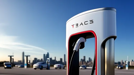
Faced with these challenges, some industry players are exploring alternatives to traditional HD maps. "Light mapping" approaches, which rely more heavily on real-time sensor data and less on pre-loaded maps, are gaining traction. Tesla, for example, has famously eschewed HD maps in favor of its vision-based system, arguing that over-reliance on pre-mapped data limits a vehicle's ability to adapt to unexpected scenarios.
Yet, most experts agree that a hybrid approach—combining the reliability of HD maps with the adaptability of real-time perception—will likely dominate the urban NOA landscape. As the technology matures, we may see increased collaboration between automakers, tech firms, and governments to streamline regulations and reduce duplication in map data collection. The path forward is complex, but the stakes—a future where urban NOA is both safe and ubiquitous—are undeniably high.

By /Jun 14, 2025

By /Jun 14, 2025

By /Jun 14, 2025

By /Jun 14, 2025

By /Jun 14, 2025

By /Jun 14, 2025

By /Jun 14, 2025

By /Jun 14, 2025

By /Jun 14, 2025

By /Jun 14, 2025

By /Jun 14, 2025

By /Jun 14, 2025

By /Jun 14, 2025
By /Jun 14, 2025

By /Jun 14, 2025

By /Jun 14, 2025

By /Jun 14, 2025